Latitude and longitude word search is a fun and educational way to learn about the world’s geography. This puzzle challenges you to find terms related to latitude and longitude, helping you to understand how these coordinates are used to locate places on Earth.
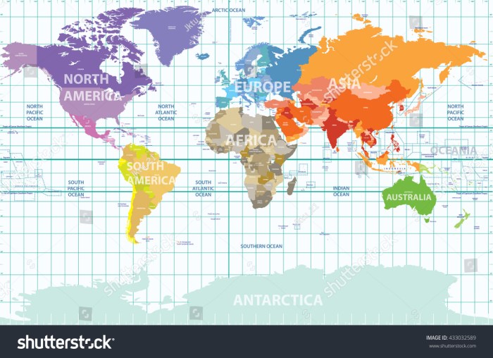
Latitude and longitude are two imaginary lines that intersect at right angles and form a grid that covers the Earth. Latitude lines run parallel to the equator, while longitude lines run from pole to pole. Every location on Earth can be identified by its unique latitude and longitude coordinates.
Define ‘Latitude and Longitude’

Latitude and longitude are a geographic coordinate system used to locate any point on the Earth’s surface. Latitude is the measurement of the angle between a point and the Equator, while longitude is the measurement of the angle between a point and the Prime Meridian.
Latitude is measured in degrees, minutes, and seconds north or south of the Equator. Longitude is measured in degrees, minutes, and seconds east or west of the Prime Meridian.
Latitude and longitude are used together to determine the exact location of a point on the Earth’s surface. For example, the coordinates of the Statue of Liberty in New York City are 40°42’58.1″N 74°02’40.1″W.
History of Latitude and Longitude
The concept of latitude and longitude has been around for centuries. The first known use of latitude and longitude was by the ancient Greeks, who used it to determine the location of stars and other celestial objects.
In the 15th century, Portuguese explorers began using latitude and longitude to navigate their ships. This allowed them to make more accurate maps and charts, which helped them to explore the world.
In the 18th century, the British mathematician John Harrison developed a marine chronometer, which allowed sailors to determine their longitude at sea. This was a major breakthrough in navigation, as it allowed ships to sail more safely and efficiently.
Methods for Determining Latitude and Longitude

There are a number of different methods that can be used to determine latitude and longitude. These methods include:
- Using a sextant to measure the angle between the horizon and the Sun or a star
- Using a GPS receiver to receive signals from satellites
- Using a map and a compass
The most accurate method for determining latitude and longitude is to use a GPS receiver. GPS receivers receive signals from satellites that are in orbit around the Earth. These signals contain information about the satellite’s position and the time. The GPS receiver uses this information to calculate its own position and time.
Applications of Latitude and Longitude: Latitude And Longitude Word Search
Latitude and longitude are used in a wide variety of applications, including:
- Navigation
- Mapping
- Surveying
- Astronomy
- Geography
Latitude and longitude are also used in everyday life. For example, they are used to determine the location of your home, your school, and your favorite restaurant.
FAQ Section
What is latitude?
Latitude is a measurement of how far north or south a location is from the equator. It is expressed in degrees, minutes, and seconds.
What is longitude?
Longitude is a measurement of how far east or west a location is from the prime meridian. It is also expressed in degrees, minutes, and seconds.
How are latitude and longitude used?
Latitude and longitude are used to locate places on Earth. They are used in navigation, mapping, and other fields.